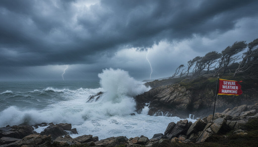
Met Office Storm Amy – UK Warnings, Impacts and Full Timeline
Storm Amy marked the beginning of the 2025/2026 storm season as the first named system to impact the United Kingdom. The Met Office named the storm on 1 October 2025, with effects felt across northern and western regions between 3 and 4 October. Met Office forecasts indicated the system would bring significant meteorological disruption to exposed areas.
The system generated sustained winds and intense rainfall across Scotland, Northern Ireland, and northern England. Post-event analysis confirmed wind gusts exceeding 136 mph in isolated locations, establishing Amy as a notable early-season event despite proving less intense than mid-winter equivalents.
This report examines the storm’s development trajectory, official warning protocols, and measured impacts based on meteorological data and authoritative assessments.
What is Storm Amy?
Storm Amy constituted the inaugural named storm of the 2025/2026 autumn and winter season. The Met Office identified the system as a deep low-pressure formation influenced by Jetstream activity and residual hurricane energy, necessitating collaborative naming protocols across meteorological agencies.
| Status First named storm of 2025/26 season |
Named 1 October 2025 |
| Duration 3-4 October 2025 |
Classification Yellow and Amber warnings issued |
Key Facts About the Storm
- First entry on the autumn/winter storm naming list operated by the Met Office, Met Éireann, and KNMI
- Generated the highest UK wind gust since Storm Jocelyn in January 2024
- Produced rainfall totals exceeding 150mm in western and northern uplands
- Resulted in amber warnings for northern Scotland due to damaging wind and precipitation
- Proved less intense than Storm Eowyn, which impacted the UK on 24 January 2025
- Preceded subsequent named systems including Storm Benjamin (22-23 October) and Storm Goretti (8-9 January 2026)
| Fact | Details |
|---|---|
| Naming Authority | Met Office (UK), in collaboration with Irish and Dutch services |
| Date Named | 1 October 2025 |
| Peak Wind Gust | 118 knots (136 mph) |
| Warning Levels | Yellow (widespread), Amber (northern Scotland) |
| Primary Impact Dates | 3-4 October 2025 |
| Total Rainfall (Uplands) | 100-150mm+ over 48 hours |
| Pressure Uncertainty | Forecast models differed by up to 10 hPa regarding depth |
| Seasonal Context | First of six named storms through early January 2026 |
When and Where Will Storm Amy Hit the UK?
Arrival and Chronological Progression
Meteorological observations recorded Storm Amy reaching Northern Ireland during the early hours of 3 October 2025. By afternoon, heavy precipitation affected western Scotland and northwest England. The storm centre tracked northwest of Scotland by evening on 3 October according to satellite imagery and analysis charts.
Peak impacts persisted through 4 October, with forecast evolution initially emphasizing northern concentrations before confirming broader wind fields.
Geographic Distribution of Effects
Northern and western regions bore the primary impact. Amber warnings applied specifically to northern Scotland. Yellow wind warnings covered Northern Ireland, north Wales, northern England, and much of Scotland. Southern areas experienced windy afternoon conditions and cooler temperatures but avoided the most severe gusts and rainfall.
Met Office models indicated interaction between Jetstream patterns and hurricane remnants created uncertainty regarding the storm’s exact track and central pressure depth, with variations up to 10 hPa between forecast runs.
What Are the Met Office Warnings and Expected Impacts?
Warning Coverage and Severity Levels
The Met Office issued yellow wind warnings for extensive areas including Northern Ireland, north Wales, northern England, and Scotland. Amber warnings targeted northern Scotland specifically due to anticipated damaging gusts and heavy rainfall. Warning advisories highlighted risks to transport infrastructure and power supplies.
Yellow rain warnings accompanied wind alerts for western Scotland’s hills, with forecasts predicting 50-80mm accumulations in elevated areas.
Measured Wind Speeds and Precipitation
Broad gusts reached 50-60 mph across west and north Wales, northern England, Scotland, and Northern Ireland. Exposed northern and northwest Scotland locations recorded gusts between 80-90 mph. One monitoring station registered 118 knots (136 mph), representing the highest UK gust since Storm Jocelyn produced 122 knots in January 2024.
Rainfall measurements confirmed 50-75mm widely across northern areas on 3 October alone, with 100-150mm+ totals accumulated in western and northern uplands over the two-day period.
Infrastructure and Public Safety Effects
Disruptions encompassed widespread transportation delays, power outages affecting multiple regions, and coastal hazards generated by large waves and debris. London’s Royal Parks closed as a precautionary measure against falling branches and wind-borne objects. Coastal communities required specific vigilance regarding wave action and flying debris.
Official guidance emphasized monitoring coastal areas for disruptions from large waves and debris, with particular caution advised for shorelines exposed to northwesterly wind directions.
How to Prepare for Storm Amy?
Transport and Travel Precautions
Authorities advised monitoring transport schedules and avoiding unnecessary travel during peak wind periods on 3 and 4 October. Road users faced specific hazards from surface water flooding and wind-borne debris across warned regions.
Power Supply and Property Security
Residents in affected areas received guidance to prepare for potential power interruptions and to secure loose outdoor objects. The combination of saturated ground and high winds increased risks of falling trees and infrastructure damage.
Western Scotland’s hills expected 50-80mm rainfall within warning periods, with localised higher amounts in specific catchments creating surface water and river flooding risks.
When Did Storm Amy Occur?
- : Met Office names Storm Amy, initiating the season’s naming sequence
- : Storm arrives in Northern Ireland
- : Heavy rain spreads to western Scotland and northwest England
- : Storm centre tracks northwest of Scotland
- : Peak impacts across northern UK regions
- : Unsettled weather continues into the weekend
- : Storm Benjamin follows in the naming sequence
What Is Certain and What Remains Unclear?
| Established Information | Information with Uncertainty |
|---|---|
| Named 1 October 2025 by Met Office | Precise central pressure depth (forecasts varied by 10 hPa) |
| Impacted UK on 3-4 October 2025 | Exact localised flooding extents beyond broad warnings |
| Peak gust of 136 mph recorded | Specific interaction dynamics with hurricane remnants |
| Yellow and Amber warnings issued | Minor track variations due to Jetstream influence |
| Northern and western UK worst affected | Precise rainfall distribution in individual valleys |
How Does Storm Amy Fit into the Season?
Storm Amy represented a significant early-season meteorological event for October, though the Met Office noted it was not unprecedented historically. The system proved less intense than winter storms such as Eowyn, which struck on 24 January 2025 with greater destructive potential.
The storm commenced a naming sequence that continued with Storm Benjamin (22-23 October), Storm Claudia (14 November), Storm Bram (8-10 December), and Storm Goretti (8-9 January 2026). This succession demonstrated the active nature of the 2025/2026 storm season.
Norwich City F.C. – History, Carrow Road and Key Facts
What Do the Official Sources Report?
Storm Amy was named on 1 October 2025 by the Met Office, marking the start of the autumn/winter storm naming list.
Met Office Storm Event Summary
One 118-knot (136 mph) gust was the UK’s highest since Storm Jocelyn’s 122 knots (140 mph) in January 2024.
Post-Event Analysis Documentation
What Is the Key Information About Storm Amy?
Storm Amy initiated the 2025/2026 naming season with significant meteorological impacts across northern Britain on 3-4 October 2025. While generating record gusts for the October period and establishing the highest UK wind speed since January 2024, the event remained less severe than mid-winter equivalents such as Storm Eowyn. The system demonstrated the Met Office’s collaborative naming protocols and highlighted forecast uncertainties inherent in complex low-pressure interactions.
12 Days of Christmas Lyrics – Full Text, History and Myths Debunked
Frequently Asked Questions
What wind speeds did Storm Amy produce?
Broad gusts reached 50-60 mph across affected regions, with exposed areas of northern Scotland recording 80-90 mph. One station measured 118 knots (136 mph).
Which areas received amber warnings during Storm Amy?
Northern Scotland received amber warnings for wind and rain, while yellow warnings covered Northern Ireland, north Wales, northern England, and much of Scotland.
How much rain fell during Storm Amy?
Northern areas recorded 50-75mm on 3 October alone, with western and northern uplands accumulating 100-150mm+ over the two-day event period.
Was Storm Amy more severe than Storm Eowyn?
No. While significant for October, Storm Amy proved less intense than Storm Eowyn, which impacted the UK on 24 January 2025.
What storms followed Amy in the 2025/26 season?
Subsequent named storms included Benjamin (22-23 October), Claudia (14 November), Bram (8-10 December), and Goretti (8-9 January 2026).
When was Storm Amy named?
The Met Office named the storm on 1 October 2025, two days before it impacted the UK on 3-4 October.
More related posts
 Trisha Krishnan: Biography, Age, Relationships, and FAQs
 Livi Sheldon: Nationality, Age, Height and Gladiators Facts
 Low Taper Fade Straight Hair: Styles, Tips & Comparisons
 Stranger Things Season 5 Episode Lengths: Official Runtimes
 Symptoms of Brain Tumor: Early Signs, Red Flags & When to Worry
 Ronan Keating: Wife Storm, Family, and New Life in Australia
 Eric Winter: Biography, Wife, Kids, and His Role on The Rookie
 What Is the Newest iPhone? iPhone 17 Series 2025